 ebsa
ebsa
Belgische School te Athene
Ecole belge d'Athenes
Βελγική σχολή Αθηνών
Belgian School at Athens
ebsa
Here you can find the preliminary program of the ENLIGHT WINTER SCHOOL U4
"Big and Small, Global and Local: Dimensions of Antiquity"
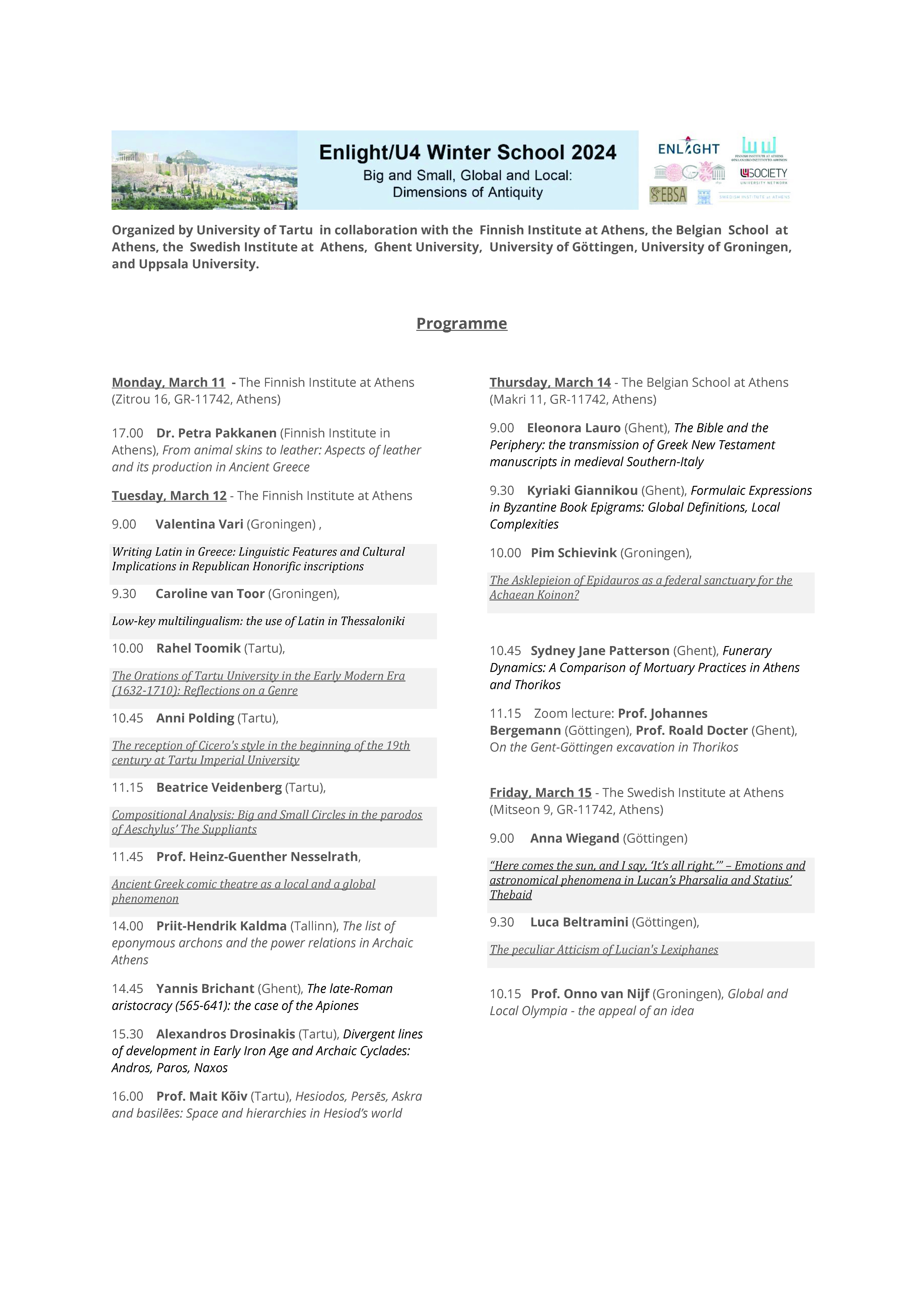
The sessions of the 14th of March, that will take place at the joint premises of the EBSA and the NIA can be also followed online
Topic: WINTER SCHOOL U4
Time: Mar 14, 2024, 08:30 Athens
Join Zoom Meeting
https://us06web.zoom.us/j/82984407158?pwd=0bKQyVHMWLb0sFhE9oYPHlzUd9zkca.1
Meeting ID: 829 8440 7158
Passcode: 376353
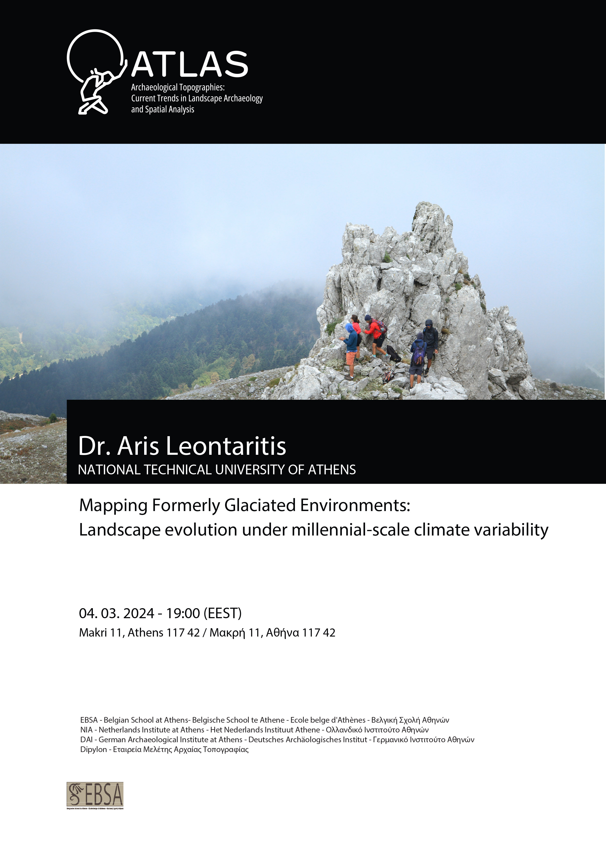
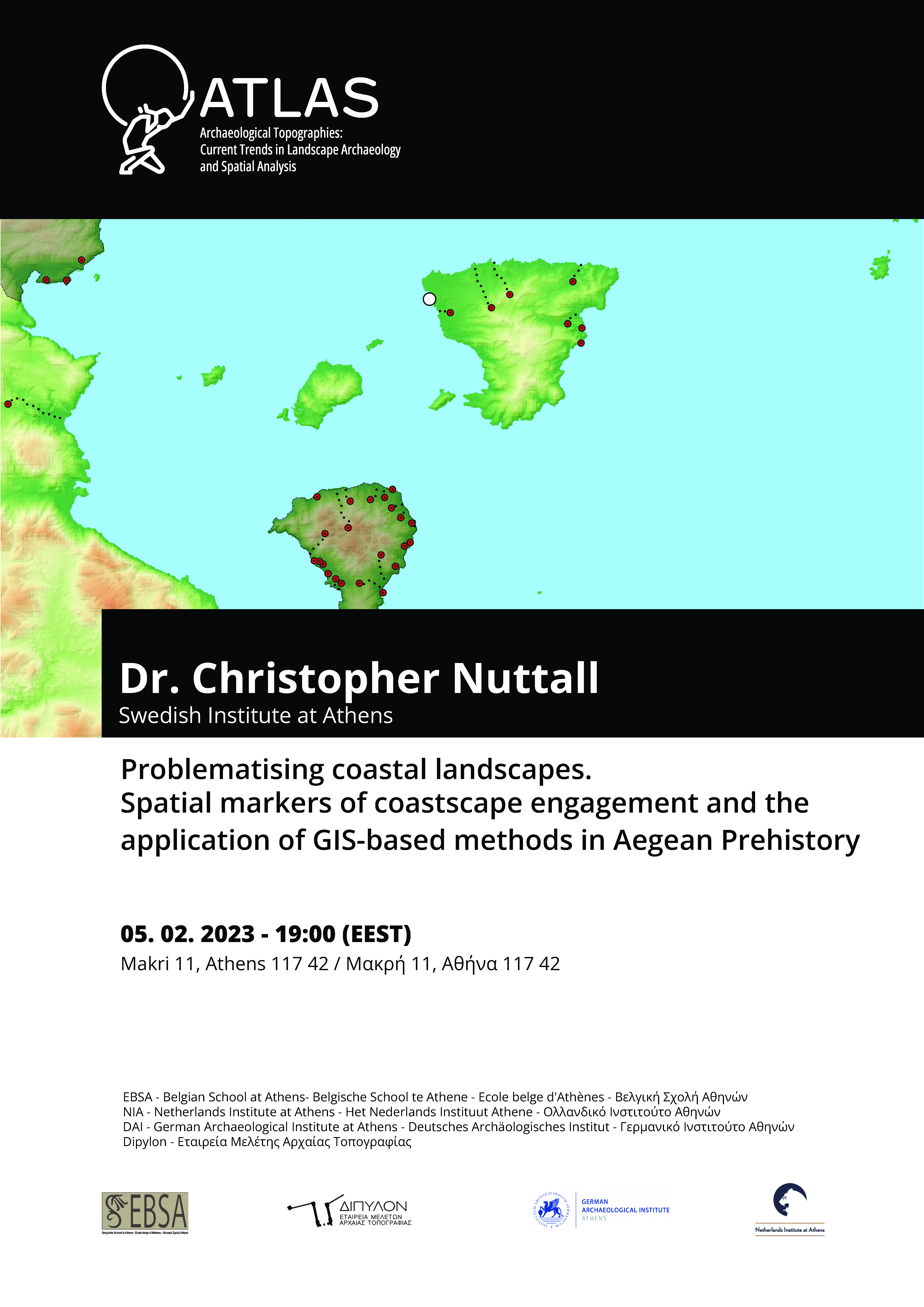

ATLAS- Archaeological Topographies: Landscapes of Action and Spatial Analysis
Addressing ontological, philosophical, historical and sociopolitical questions in the archaeological record has been constantly facilitated by rapidly advancing 3D visualizations, GIS mapping and topographic data analysis methods. Topography is both deeply entrenched in archaeological research methodologically since the latter’s first steps and conceptually integrated as there are always intangible landscapes to be mapped emerging from tangible archaeological sites. In an attempt to bridge the gap between mental, ritual, funerary, economic, political, social and gender landscapes and actual dynamic environments, marginal zones, mobile societies and traditional topographies we invite colleagues dealing with spatial analysis in archaeology to contribute to a seminar aspiring to explore the future of archaeological topographies and the interpretational power of mapping.

